
Hiking Gunung Baling
Baling
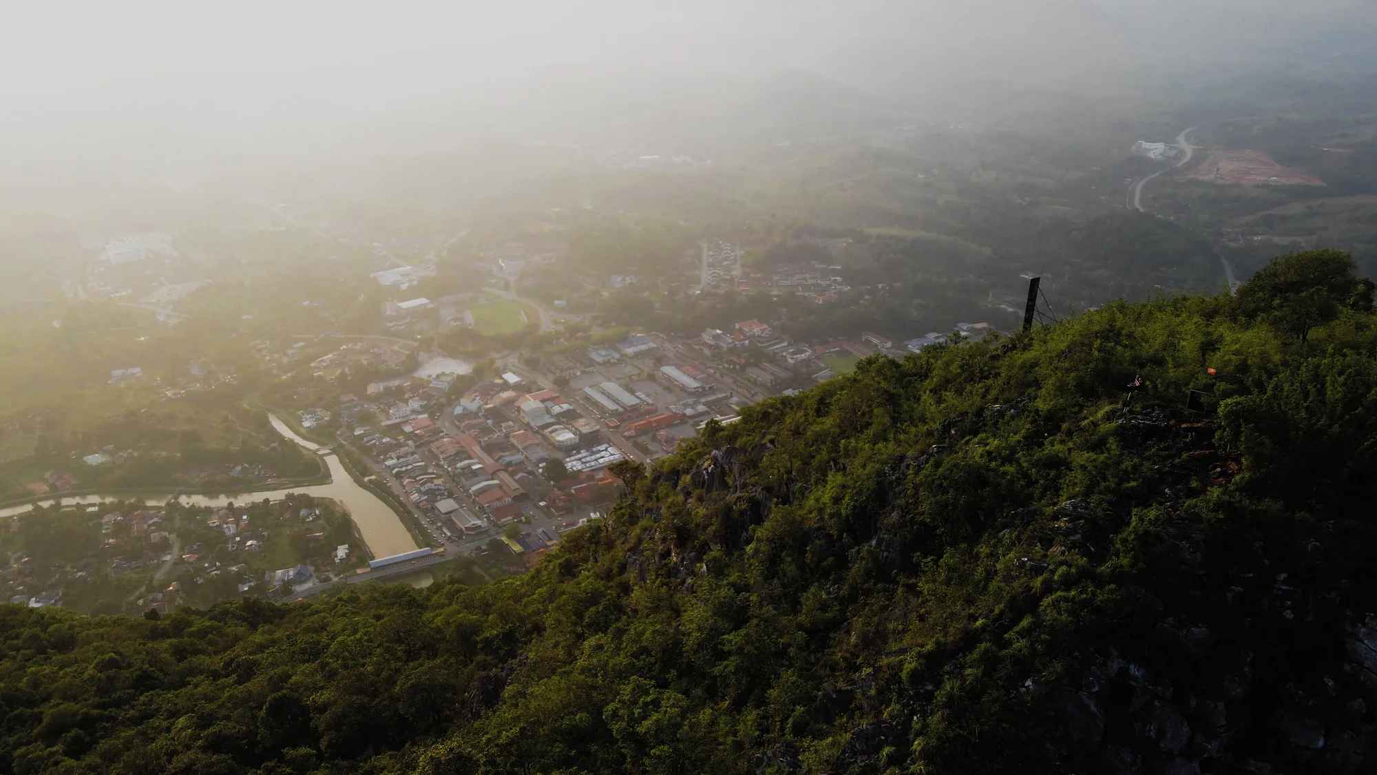
A 546m limestone peak standing over Baling town. The trail is short, under 2km one way, and nearly all of it is up. Ropes at the start, then a marked path with handrails, then Gua Kambing, where you climb a wooden ladder and go through a hole in the rock. After that it is a scramble over sharp limestone to the final ridge. The summit is open rather than tree-covered, so you get the full 360. Penang out west, the Thai border east, and on the right morning the Kedah plains sitting under a carpet of cloud. Most reasonably fit people are up in one and a half to two hours.
Map loading…
Hiking Gunung Baling
Open in Google MapsVerified on the ground. Someone from Small Towns Malaysia was here on that visit. Prices and hours change — tell us if this is out of date.